Strong Thunderstorms and 40 MPH Wind Gusts Target Grand Strand Through 11:45 AM
The National Weather Service has issued a Special Weather Statement for Horry and Georgetown counties as a line of strong thunderstorms bringing 40 mph wind gusts moves through the region until 11:45 AM EDT on Sunday.
Why this matters locally
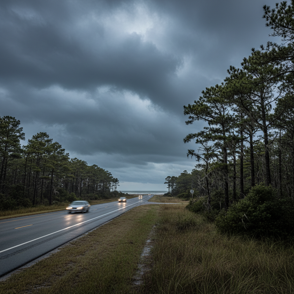
Gusty winds up to 40 mph can knock down tree limbs, create driving hazards on local routes, and produce sudden choppy waters for boaters along the Grand Strand.
The National Weather Service in Wilmington has issued a Special Weather Statement warning residents, boaters, and visitors across the Grand Strand and surrounding inland areas that a line of strong thunderstorms will impact the region through 11:45 AM EDT on Sunday, October 11, 2026.
Doppler radar detected the storm line moving northeast at 35 mph, stretching across Horry and Georgetown counties as well as nearby portions of Columbus, Dillon, Florence, Marion, and Williamsburg counties. Specific Grand Strand locations in the storm's path include Myrtle Beach, Surfside Beach, Conway, Socastee, Garden City, Murrells Inlet, Loris, and coastal reference points like Springmaid Pier and the Myrtle Beach International Airport.
The primary hazard with these thunderstorms is gusty winds reaching up to 40 mph. The National Weather Service cautions that wind gusts of this strength can easily knock down small tree limbs, snap weakened branches, and blow around light, unsecured outdoor items such as patio furniture and trash cans. Driving conditions along major corridors like U.S. 17, U.S. 501, and SC 31 may also become hazardous due to sudden gusts and brief heavy downpours.
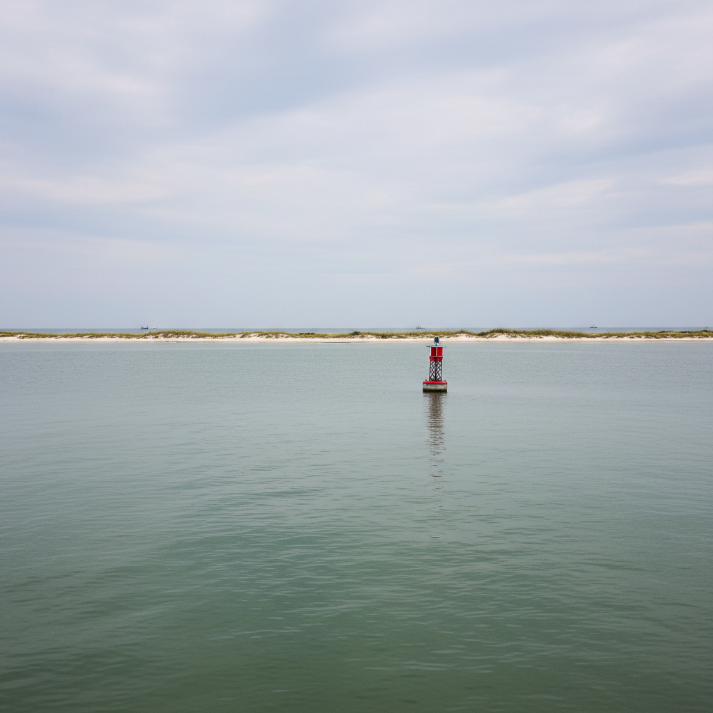
Boaters, beachgoers, and local residents are advised to secure loose outdoor property and remain vigilant. Mariners on coastal waters, local inlets, and the Intracoastal Waterway should prepare for sudden wind increases and choppy conditions until the storm system moves through the area later this morning.
Quick facts
- Event: Special Weather Statement for strong thunderstorms
- Impact Area: Horry, Georgetown, Marion, Dillon, Florence, Williamsburg & Columbus counties
- Timeframe: Active through 11:45 AM EDT on Sunday, Oct 11, 2026
- Primary Hazard: Wind gusts up to 40 mph
- Issued By: National Weather Service Wilmington NC
Community brief · prepared from National Weather Service — Wilmington material · original source