Severe Thunderstorm Watch Issued for Grand Strand Coastal Waters
The National Weather Service has issued a Severe Thunderstorm Watch for Grand Strand coastal waters extending up to 20 nautical miles offshore through 10:00 PM EDT.
Why this matters locally
Boaters and mariners along the Grand Strand should prepare for potentially sudden shifts in winds, high waves, and lightning off the coast.
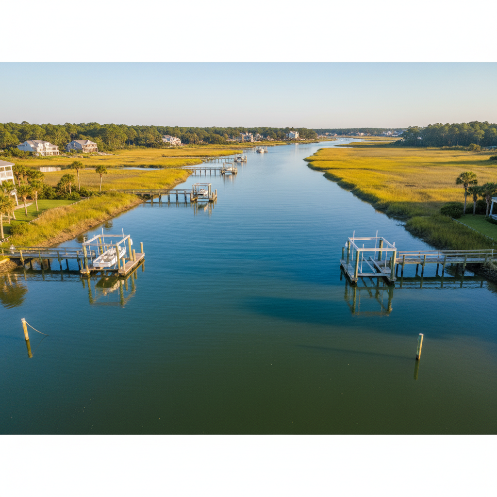
The National Weather Service in Wilmington, North Carolina, has issued Severe Thunderstorm Watch 657 for local coastal waters, extending up to 20 nautical miles offshore. The watch area includes waters from Little River Inlet to Murrells Inlet, as well as from Murrells Inlet south to the South Santee River. The watch also covers northern coastal waters extending up toward Cape Fear and Surf City, North Carolina.
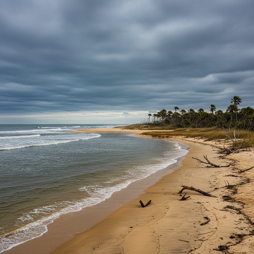
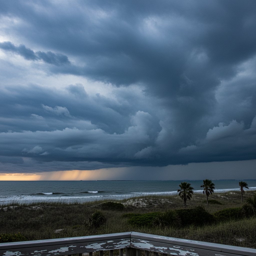
The severe weather alert remains active through 10:00 PM EDT. Marine conditions during a severe thunderstorm watch can change rapidly, bringing localized high winds, steep chaotic seas, frequent lightning, and reduced visibility in sudden heavy downpours.
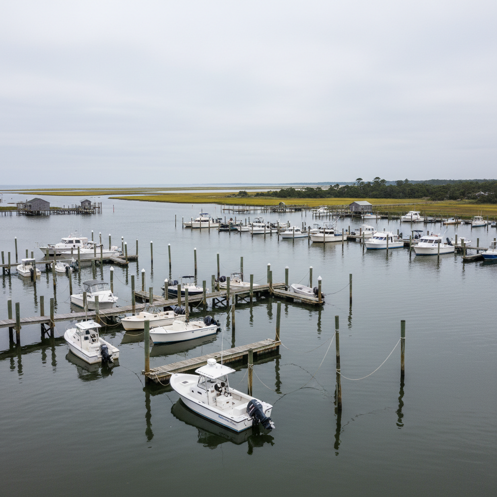
This watch directly affects recreational boaters, commercial fishermen, charter operators, and watersports enthusiasts along the Grand Strand. Anyone planning to be on the ocean or near inlet entrances should monitor weather updates closely, secure loose gear on vessels, and remain prepared to head for safe harbor if storm conditions develop.
Quick facts
- Event: Severe Thunderstorm Watch 657
- Issued by: NWS Wilmington NC
- Valid through: 10:00 PM EDT
- Coverage: Coastal waters from Little River Inlet to South Santee River (out 20 NM)
Community notice · prepared from NWS Coastal Waters Advisories (AMZ250) material · original source