Peak Heat Gives Way to Severe Saturday Storms Across Grand Strand
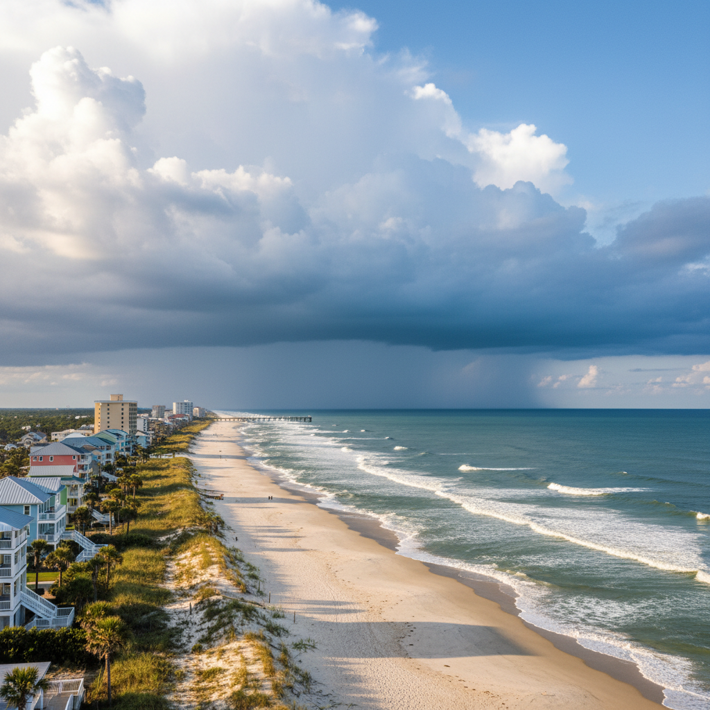
Intense heat and high humidity on Saturday, Sept. 5, gave way to severe evening thunderstorms carrying dangerous lightning and high winds across the Grand Strand.
Why this matters locally
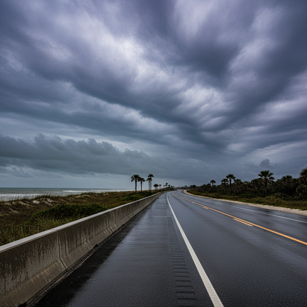
Severe weather brings threats of tree damage, power disruptions, and localized road flooding to Grand Strand residents and holiday weekend visitors.
The Grand Strand experienced a drastic shift in weather on Saturday, Sept. 5, 2026, as a late-summer heat wave peaked before giving way to strong and severe evening thunderstorms across the region.
A Heat Advisory was in effect for the entire area through the first half of the day. High temperatures reached the lower 90s along the coast and climbed into the upper 90s in inland communities. When combined with intense humidity, heat index values ranged between 105 and 110 degrees, creating hazardous conditions for outdoor activities, sporting events, and weekend errands.
Atmospheric conditions changed late Saturday afternoon as storm clusters developed to the north and northwest before pushing south toward the beaches. Fuelled by the daytime heat and an approaching cold front, the storms brought a range of severe weather risks. The Storm Prediction Center placed the Grand Strand under a Level 2 "Slight" risk for severe weather.
Key hazards associated with the Saturday evening storm system included dangerous and frequent cloud-to-ground lightning, gusty damaging winds capable of bringing down tree limbs, heavy downpours that led to localized road flooding, and a low risk of isolated small hail.
Looking ahead at the remainder of the holiday weekend, the cold front was forecasted to move slowly through the region on Sunday, bringing slightly cooler high temperatures in the mid-to-upper 80s. While scattered afternoon showers and storms remain possible Sunday, they are expected to be less intense than Saturday's system. Conditions are projected to clear further for Labor Day, offering drier weather, lower humidity, and highs in the mid-80s.
Residents and visitors navigating lingering wet roads or outdoor plans should continue to exercise caution around lightning and monitor local weather updates.
Quick facts
- Date: Saturday, Sept. 5, 2026
- Peak Heat Index: 105 to 110 degrees
- Severe Risk Level: Level 2 (Slight)
- Primary Threats: Lightning, wind gusts, heavy downpours, localized flooding
Community brief · prepared from WMBF News — Grand Strand material · original source