Building Super El Niño Expected to Bring Wet Winter to Grand Strand
A strong Super El Niño pattern will bring increased winter rainfall and coastal erosion risks to Horry County through early 2027 while suppressing the rest of the 2026 hurricane season.
Why this matters locally
The seasonal pattern will likely increase winter rainfall and beach erosion along the coast while disrupting winter golf operations, despite suppressing late-season hurricane activity.
A building Super El Niño event in the Pacific Ocean is projected to shape weather conditions across Horry County and the Grand Strand starting this fall and continuing through Winter 2027. According to the federal Climate Prediction Center, there is a greater than 90 percent chance that a very strong El Niño pattern will persist into early next year, altering seasonal weather tracks across North America.
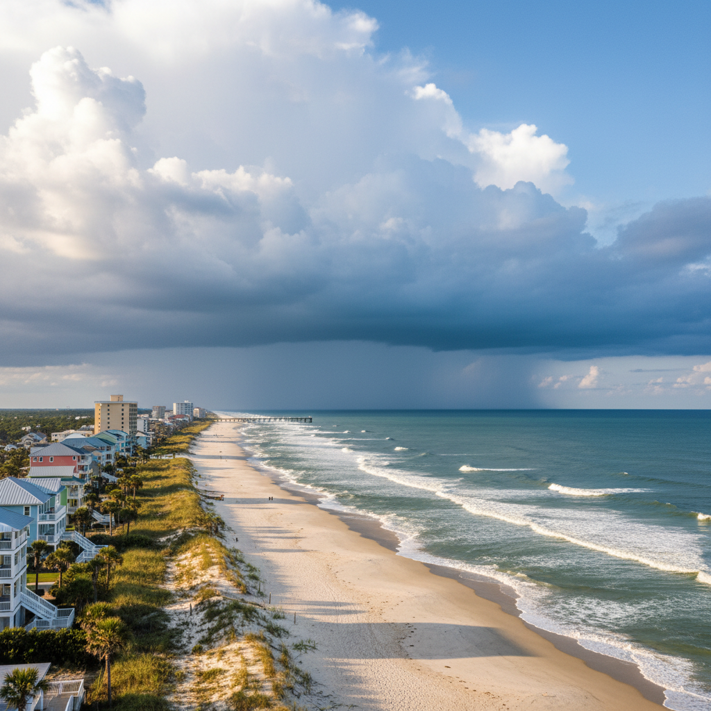
For the remainder of the 2026 Atlantic hurricane season, the atmospheric pattern offers a temporary reprieve. Strong vertical wind shear across the Caribbean and tropical Atlantic is suppressing storm development, supporting NOAA’s outlook for a below-normal hurricane season with an estimated 7 to 13 named storms. However, emergency officials urge residents not to drop their guard, as coastal storm risks remain present until the season officially closes on November 30.
The primary local impact will arrive during the winter months, with forecasters showing high confidence in wetter-than-normal weather for the coastal plains. Federal long-range outlooks indicate a 70 to 80 percent probability of above-average precipitation along the South Carolina coast from December through February. While this extra rain will help ease regional drought conditions and replenish the shared aquifer, temperature outcomes remain uncertain, making winter precipitation types unpredictable.
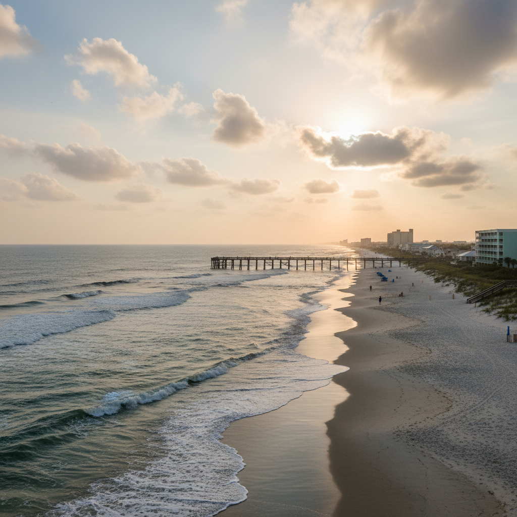
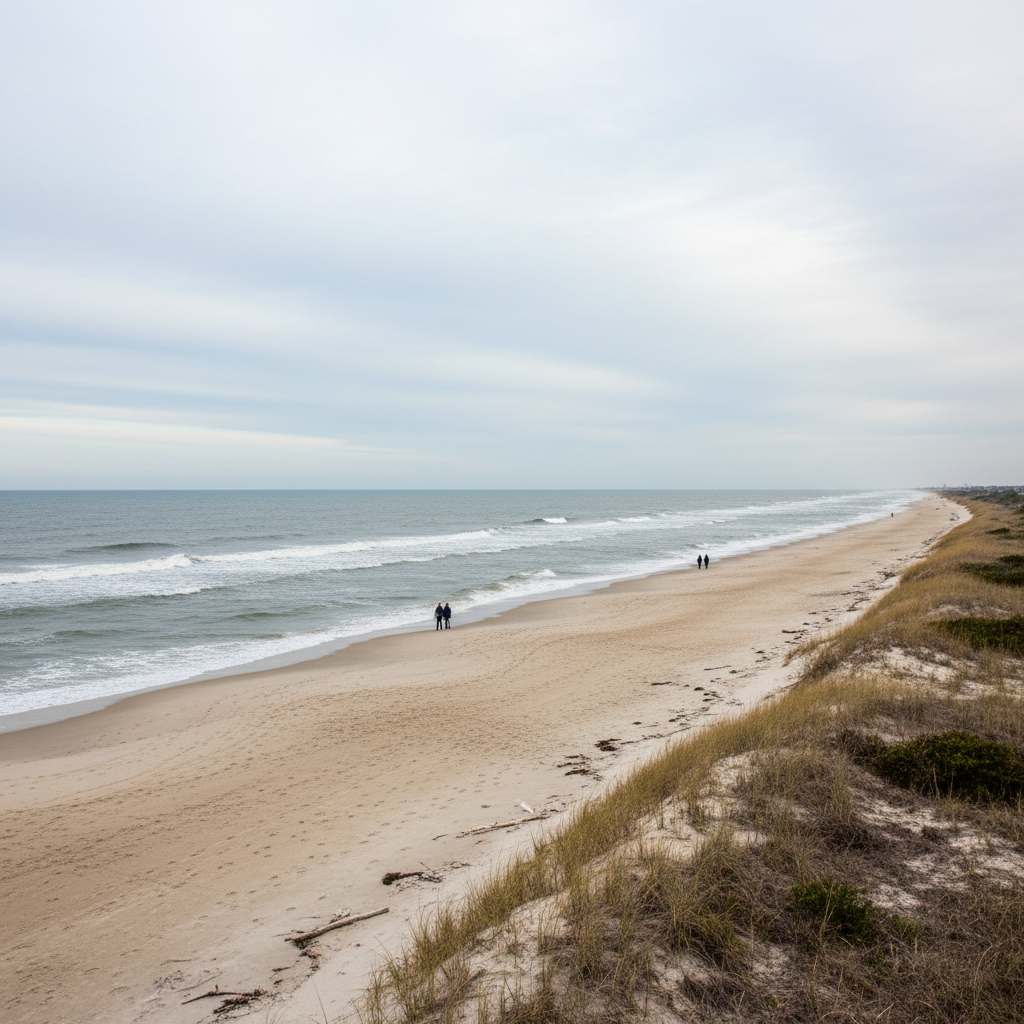
This extended wet pattern presents practical challenges for the Grand Strand's outdoor and tourism sectors. Over 90 local golf courses face increased risks of saturated turf, standing water, and cart-path-only restrictions during critical shoulder seasons. Additionally, repeated winter nor'easters and storm activity pose erosion risks to local beaches, including recently renourished stretches around Arcadian Shores and Myrtle Beach where local municipalities have invested millions in shoreline protection.
Residents, outdoor businesses, and local officials are encouraged to remain prepared for potential coastal flooding during high tides, plan for intermittent disruption to outdoor schedules, and monitor local National Weather Service updates throughout the season.
Quick facts
- Pattern duration: Fall 2026 through Winter 2027
- Precipitation forecast: 70-80% chance of above-average coastal rainfall
- Hurricane season outlook: Below-normal activity projected through Nov. 30
- Primary risk area: Low-lying golf courses and coastal erosion zones
Community brief · prepared from MyrtleBeachSC News material · original source