Mid-Week Showers to Clear for Crisp Fall Weekend Across the Grand Strand
A passing cold front will bring mid-week showers to the Grand Strand before cooler air and low humidity deliver sunny, crisp fall weather by the weekend.
Why this matters locally
The mid-week cold front brings rain chances for afternoon commuters before establishing dry, comfortable conditions ideal for weekend outdoor events, high school football, and coastal recreation.
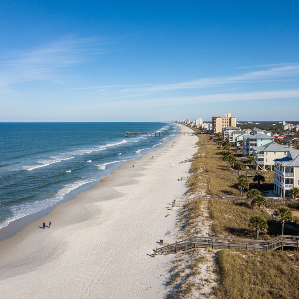
Residents, business owners, and visitors across the Grand Strand and Pee Dee regions can expect a notable shift in the weather this week. High humidity and muggy conditions will gradually yield to cooler, crisp autumn air by the weekend, though several unsettled days lie ahead.
Early in the week, late-summer warmth will persist. High temperatures are forecast to reach the lower 90s inland and the low-to-mid 80s along the coast, with elevated humidity maintaining a chance for a stray afternoon pop-up shower. Scattered showers and potential storms are expected to develop Tuesday afternoon and evening as daytime heating peaks.
A passing cold front on Wednesday will trigger a broader pattern shift across South Carolina. Rain chances will remain elevated on Wednesday with scattered showers hit-and-miss across coastal and inland areas, while daytime highs begin a downward trend into the low 80s. Clouds and cooler, more stable air will move in for Thursday, bringing noticeably cooler highs in the upper 70s, lingering passing showers, and dropping humidity levels behind the front.
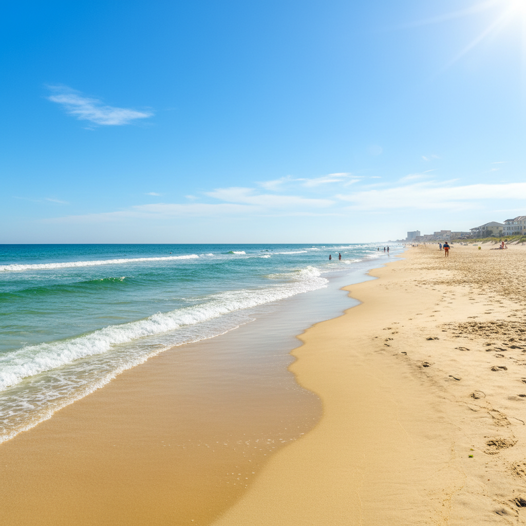
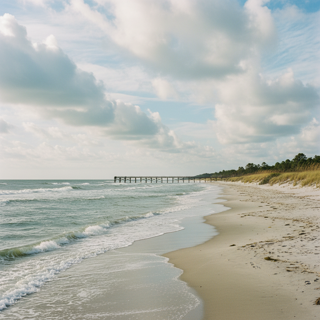
The complete fall transition arrives in full force by Friday, September 25. High temperatures on Friday are forecast to top out in the mid-70s under sunny skies, with morning lows dipping into the upper 50s along the coast and low-to-mid 50s inland. Lower humidity and sunny conditions will remain through the weekend of September 26–27, with high temperatures staying comfortably in the upper 70s.
Local residents and visitors planning for high school football games on Friday night or outdoor festival and beach activities over the weekend can anticipate clear, dry weather. Motorists and outdoor planners should prepare for rain and scattered storms during the Tuesday and Wednesday afternoon drives before transitioning to fall outdoor attire for the cooler weekend ahead.
Quick facts
- Timeline: September 21–27, 2026
- Early Week: Highs 80s-90s, humid, afternoon showers
- Cold Front Arrival: Wednesday, September 23
- Fall Relief: Sunny, low humidity, highs in upper 70s starting Friday
- Location: Grand Strand and Pee Dee regions, SC
Community brief · prepared from WMBF News — Grand Strand material · original source