Heat Advisories Issued for Grand Strand Ahead of Labor Day Weekend Storms
Late-season heat index values will reach up to 110 degrees in the Grand Strand through Friday, followed by severe storm chances Saturday night and cooler temperatures for Labor Day.
Why this matters locally
Dangerous heat index values near 110 degrees create high risks for outdoor workers, holiday beachgoers, and children at sports practices, while severe storms could disrupt outdoor Labor Day weekend plans on Saturday night.
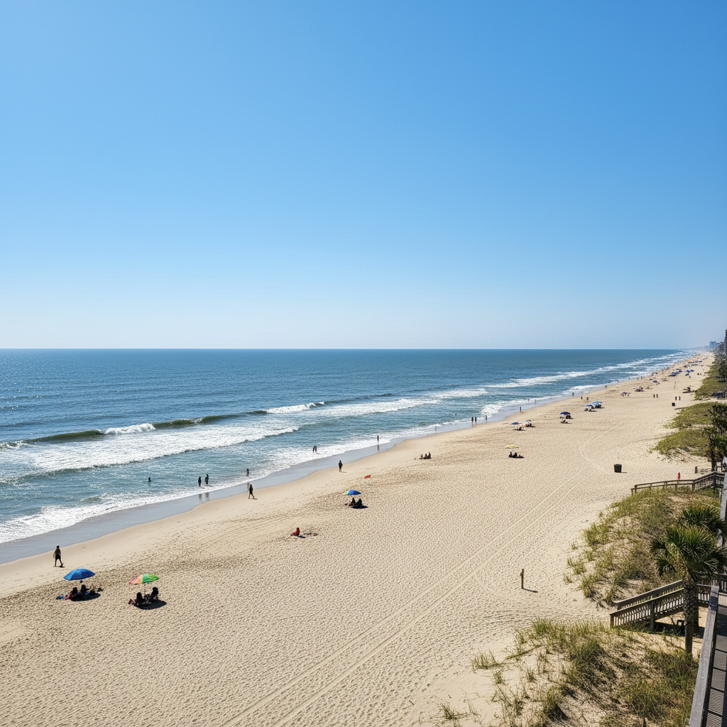
Late-season heat and intense humidity will continue across North Myrtle Beach and the broader Grand Strand through the end of the week, with a Heat Advisory issued for Thursday, September 3, 2026. Afternoon heat index values are expected to reach between 105 and 108 degrees, creating unsafe conditions for extended outdoor exposure. Inland locations will see afternoon temperatures in the mid-to-upper 90s, while coastal beaches are expected to reach the lower 90s.
The high heat will peak on Friday, September 4, with high humidity pushing heat index values between 105 and 110 degrees, prompting another Heat Advisory. Area residents, outdoor workers, and visitors planning beach trips or outdoor recreation should schedule activities for early morning or early evening hours. Anyone working or playing outside should drink plenty of water, take frequent breaks in shaded or air-conditioned areas, and monitor children during afternoon sports practices.
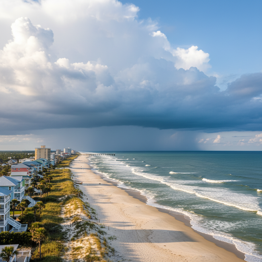
Labor Day weekend will begin with continued extreme heat on Saturday, September 5, with heat index values again rising to 105 to 110 degrees. As a weak cold front approaches from the northwest, scattered afternoon and evening thunderstorms are forecast to move into the Grand Strand. The Storm Prediction Center has placed the region under a Level 2 threat for severe weather on Saturday. Some of these storms could become strong to severe, bringing frequent lightning, heavy rainfall, and gusty winds, particularly during the evening hours.
Relief will arrive on Sunday, September 6, as the cold front moves through the region. Temperatures will drop into the mid-to-upper 80s on Sunday afternoon alongside scattered storms. By Labor Day, Monday, September 7, the front will push south, leading to drier conditions and mild afternoon highs in the mid-to-upper 80s, with only a slight chance of a stray shower. Residents and holiday visitors should keep a close eye on local forecasts and weather updates throughout the holiday weekend.
Quick facts
- Event Dates: Thursday, Sept. 3 – Monday, Sept. 7, 2026
- Peak Heat Index: 105 to 110 degrees (Thursday–Saturday)
- Severe Storm Risk: Saturday evening (Level 2 risk)
- Cooler Trend: Highs in the mid-to-upper 80s by Sunday and Labor Day
Community brief · prepared from WMBF News — Grand Strand material · original source