Grand Strand Weather Sees Afternoon Storms Before Drier Weekend Pattern
Scattered afternoon storms and high humidity hit the Grand Strand on August 06 ahead of a drier weather pattern expected for the weekend.
Why this matters locally
High heat, humidity, and pop-up lightning storms impact beachgoers, boaters, and outdoor workers across North Myrtle Beach and coastal South Carolina.
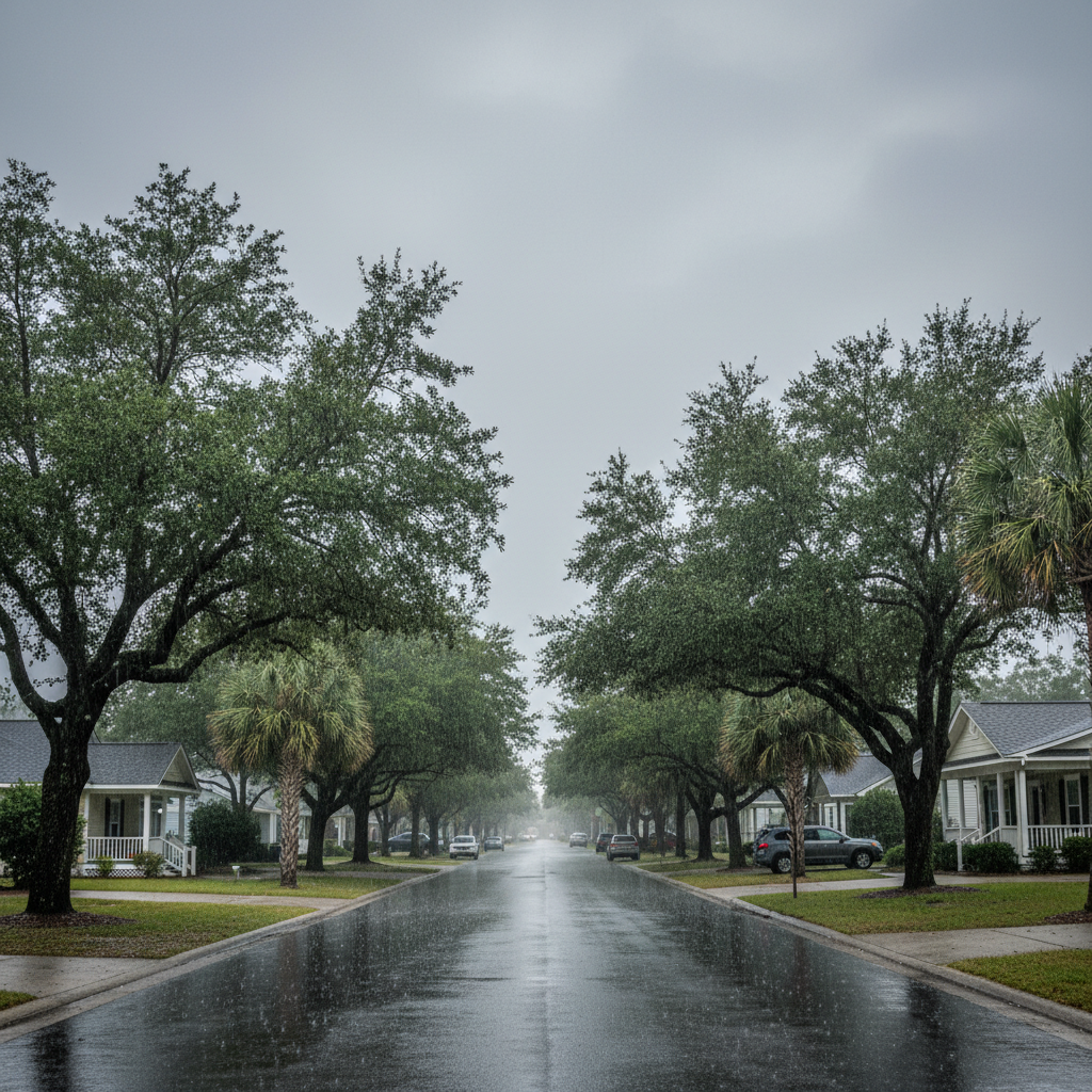
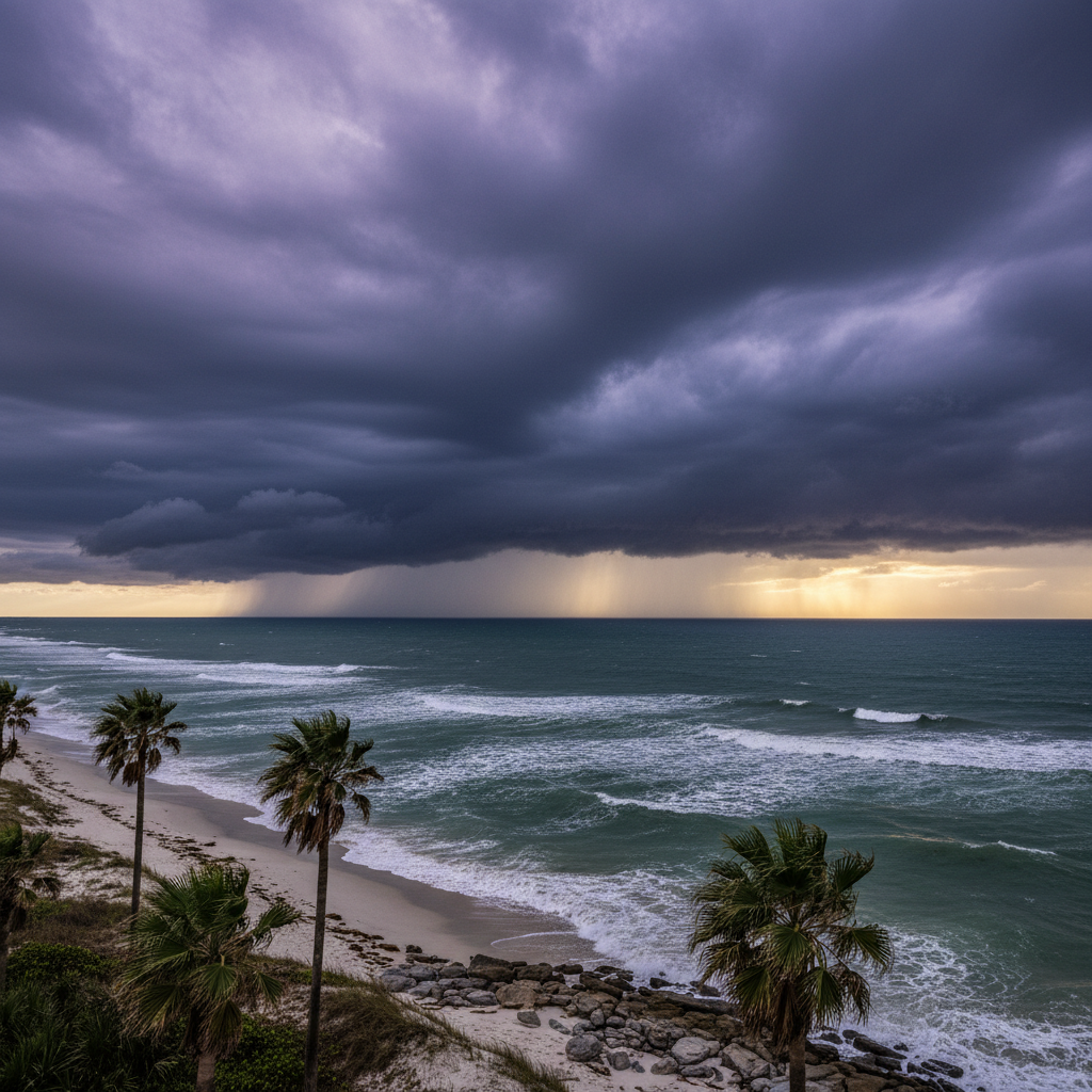
Weather conditions across the Grand Strand on Thursday, August 06, brought another round of scattered afternoon storms and typical high summer humidity. Meteorologists reported that showers and thunderstorms were expected to develop around midday before gradually tracking farther inland during the afternoon and evening hours.
While rain was not anticipated to hit every neighborhood, storms that did form carried the potential for localized heavy downpours and frequent lightning. High temperatures across coastal locations climbed into the mid-to-upper 80s, while some inland spots approached the lower 90s. Areas affected by rain saw brief drops in temperature.
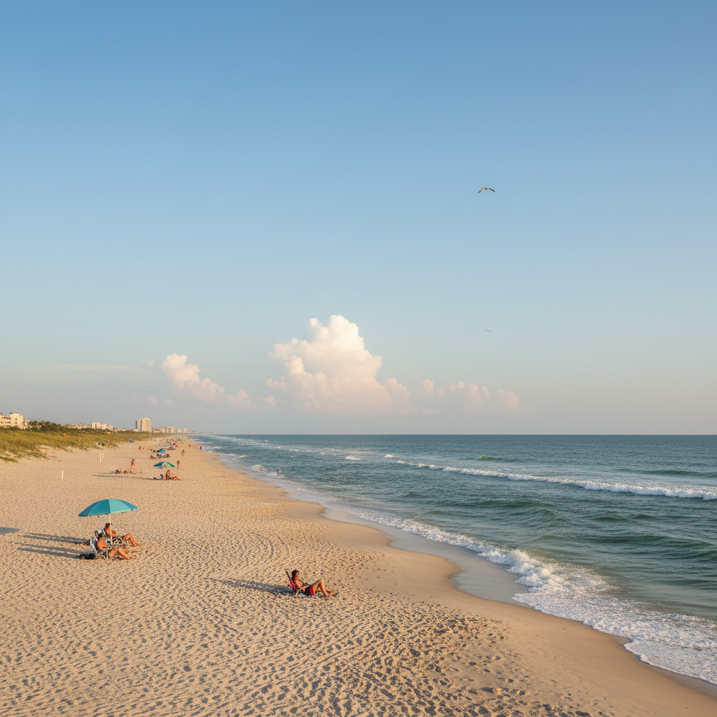
Looking ahead to Friday and the coming weekend, drier air moving into the upper atmosphere over the Carolinas is projected to reduce overall storm coverage. While isolated afternoon showers and thunderstorms remain possible, conditions are expected to settle into a standard August pattern.
For residents, visitors, and outdoor workers in North Myrtle Beach and surrounding coastal communities, the weekend outlook features hot and humid conditions with ample sunshine, particularly during the morning hours. Anyone spending extended time outdoors or on the water should prepare for intense summer heat, practice adequate hydration, and monitor local radar for pop-up afternoon lightning risks.
Quick facts
- Date: Thursday, August 06, 2026
- Location: Grand Strand & inland Pee Dee regions
- High temperatures: Mid-80s to lower 90s
- Conditions: High humidity, scattered afternoon storms moving inland
Community brief · prepared from WMBF News — Grand Strand material · original source