Grand Strand Faces Heavy Rain, King Tides, and Gusty Winds Oct. 10–11
Moisture from Hurricane Isaias will bring heavy rain, gusty winds, and king tide street flooding to the Grand Strand on Oct. 10 and 11, 2026.
Why this matters locally
Heavy downpours overlapping Saturday night's king tide will bring localized street flooding to coastal areas, alongside an overnight tornado risk across Horry and Georgetown counties.
Grand Strand residents, visitors, and business owners should prepare for a wet and windy weekend as moisture from Hurricane Isaias moves across the region on Saturday, Oct. 10, and Sunday, Oct. 11, 2026. While the center of the storm is making landfall hundreds of miles away on the Gulf Coast, deep tropical moisture pulled off its eastern side will deliver heavy rain, gusty winds, and localized coastal flooding risks to Horry and Georgetown counties.
Forecasters expect 2 to 4 inches of rain along the coast with pockets reaching 4 to 6 inches near the beaches, while inland Horry County will likely see 1 to 2 inches. Scattered showers will begin early Saturday morning. The main weather event will arrive between Saturday midday and early Sunday morning as a strong band of heavy downpours moves through the area. Rain will taper off quickly on Sunday morning, leaving only lingering showers into the afternoon and evening.
Beyond heavy rainfall, the weekend storm system brings several specific hazards for coastal neighborhoods from Cherry Grove to Pawleys Island. Steady onshore wind gusts of 30 to 35 mph along the beaches will accompany Saturday's storm band. Additionally, a low but real threat of overnight tornadoes will peak late Saturday night into early Sunday morning while residents are sleeping.
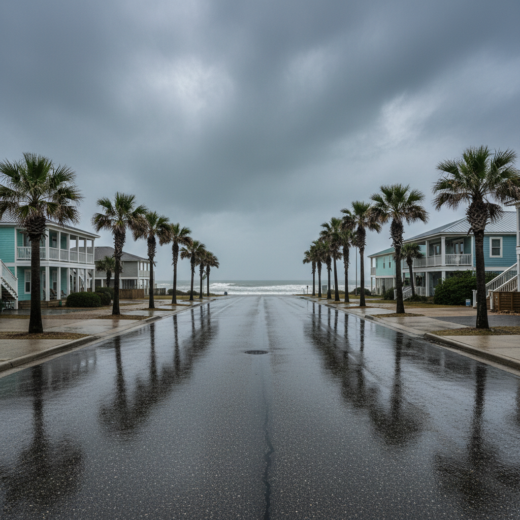
A key sleeper risk for the Grand Strand is the alignment of heavy rain with king tides caused by Saturday's new moon. The evening high tide around 8 p.m. Saturday is expected to overlap with heavy downpours. Because king tides prevent coastal storm drains from emptying efficiently into the ocean, low-lying streets and oceanfront parking areas face a heightened risk of brief flash flooding.
Local officials and forecasters recommend several simple precautions ahead of the weather. Residents should clear leaves and debris from curbside drains and gutters on Friday to prevent street backup. Loose outdoor items, patio furniture, and trash cans should be tied down or brought indoors to prevent wind damage. Drivers are urged never to venture through standing water on flooded roads, as water depth and road stability cannot be judged safely.
Because the main tornado threat occurs overnight, residents and visitors should ensure emergency alerts are enabled on their mobile phones and set to an audible volume. Outdoor activities should be rescheduled for Sunday afternoon when conditions clear.
Quick facts
- Dates: Saturday, Oct. 10 – Sunday, Oct. 11, 2026
- Rainfall: 2–4 inches coast (pockets of 4–6 in.), 1–2 inches inland
- Peak timing: Saturday midday through early Sunday morning
- Key hazards: Overnight tornado risk, 30–35 mph beach gusts, king tide flooding around 8 p.m. Saturday
- Action item: Enable overnight phone alerts and clear curbside storm drains
Community brief · prepared from MyrtleBeachSC News material · original source